
Access Essential Wildlife Recording Materials.
Download our resources for learning, teaching and recording – Please check back soon for all of our downloadable resources.
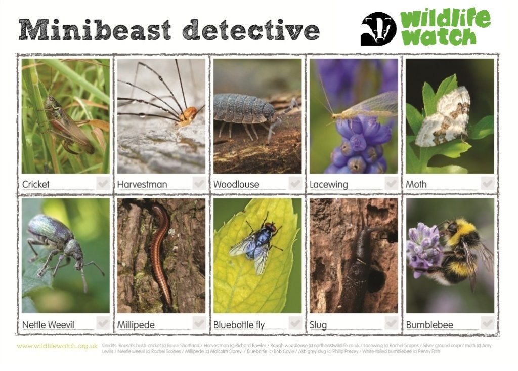
Recording Sheets
Find practical templates to log and monitor your wildlife observations accurately.
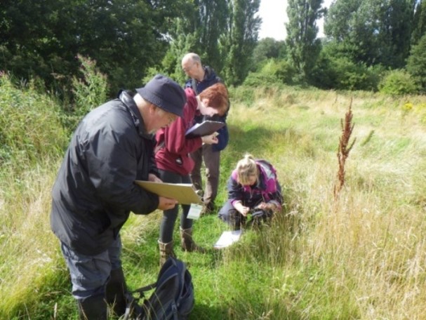
Local Groups
Connect with regional recording communities and discover collaborative opportunities.
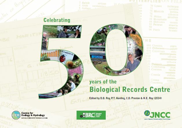
Publications
Explore informative guides and reference materials that support effective wildlife recording.
Merseyside BioBank is a one-stop shop for information on the natural environment and biodiversity, resources and expertise for North Merseyside. Make use of our services by contacting us by email.
If you do not see the particular solution or tool you require available on our website, please get in touch. We are always looking to develop our resource package in response to feedback.